Remote Sensing
Learn Remote Sensing skills from top instructors

Marwa Ali
3 courses

مشروع رصد تغير خط الساحل باستخدام برنامجي ArcMap & Envi
5
students
4.5 hours
content
Nov 2022
updated
$13.99

Gilberto Fernandes
9 courses

Detector Geofone (Vazamentos de água)
17
students
1 hour
content
Aug 2022
updated
$13.99
AulaGEO Academy
140 courses
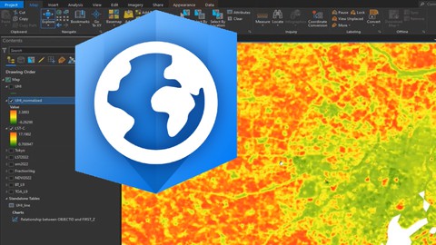
Remote Sensing using ArcGIS Pro - AulaGEO
11.1K
students
4 hours
content
Aug 2024
updated
$13.99

AulaGEO Academy
140 courses
Sensores Remotos - Conceptos y aplicación - AulaGEO
14
students
1.5 hours
content
Dec 2024
updated
$13.99

Arthur César Guima
28 courses

Sensoriamento Remoto com Softwares Spring e QGIS
24
students
2 hours
content
Apr 2023
updated
$13.99

AulaGEO Academy
140 courses
Remote Sensing - fundamentals and applications - AulaGEO
2.6K
students
1.5 hours
content
Dec 2024
updated
$13.99

AulaGEO Academy
140 courses
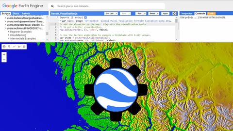
Introduction to Google Earth Engine (GEE) - AulaGEO
1.3K
students
1.5 hours
content
Aug 2024
updated
$15.99

Arthur César Guima
28 courses

Sensoriamento Remoto e PDI com QGIS
49
students
3.5 hours
content
Feb 2022
updated
$13.99