Introduction to GIS for Public Health

Why take this course?
🚀 Course Headline:
Introduction to GIS for Public Health - an open-source approach 🌱
🎉 Course Description:
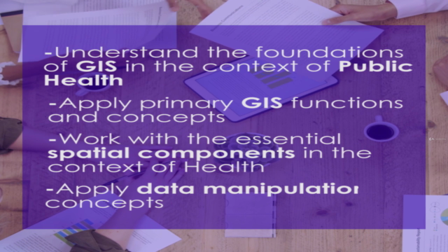
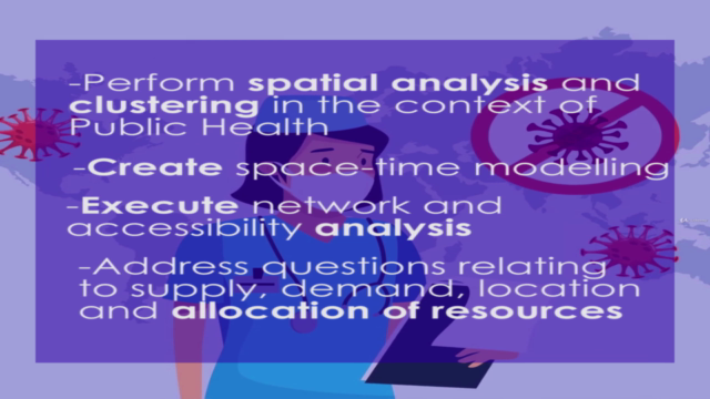
'Introduction to Geographic Information Systems for Public Health - an open-source approach' is a self-paced online course meticulously designed to fast-track your learning journey in the exciting intersection of GIS and Public Health. This introductory GIS and Health course is tailored to help you grasp the spatial techniques used in GIS within the health sector, and provides you with the core theory, concepts, and background necessary to successfully employ GIS tools.
In today's data-driven world, where location intelligence plays a pivotal role, health professionals are increasingly expected to integrate this knowledge into their daily decisions. To meet this demand, we have harnessed the power of open-source GIS tools and datasets to create a course that not only educates but also empowers you with practical skills that can be applied immediately to your work or studies.
📚 Here's how the course will revolutionize your learning experience:
-
Enhance Your Decision-Making Skills: You'll be better positioned to meet your daily decision-making needs at work with a newfound understanding of spatial data analysis. 🧐
-
Inspire Research and Innovation: This course will inspire you to start research in the GIS and Health domain, fueling your curiosity and passion for innovation. ✨
-
Diversify Your Skillset: Whether you're looking to enhance your expertise in GIS, Public Health, or both, this course offers a unique blend of knowledge that will diversify and enrich your skillset. 🛠️
-
Apply Learnings Immediately: The practical skills and theoretical concepts you'll learn are designed to be applicable right after completing the course, making it an invaluable tool in your professional arsenal. 🚀
-
Theoretical & Practical Mastery: You will gain a comprehensive understanding of both the theoretical underpinnings and practical applications of GIS within the context of Public Health. 📊
🎬 Course Content Breakdown:
This course is packed with hands-on learning, featuring:
-
17 Video Lectures: These will lay a solid foundation of knowledge in GIS for Public Health. 🎥
-
15 Tutorials: Get practical, step-by-step guidance using QGIS, a powerful and free open-source application. Learn on your own schedule, whether you're on Windows, MacOS, or Linux. 🖥️
📈 Evaluate Your Progress:
While this course is structured differently than traditional programs, self-evaluation is key. The best way to assess your progress is by actively participating in the tutorials and applying what you learn directly to real-world scenarios. ✅
👥 Join the Community:
Don't navigate this journey alone! Engage with fellow learners and experts on social media using hashtags such as:
-
#OriGudes for insights from our course instructors.
-
#gisforpublichealth to connect with peers and professionals in the field.
-
#GeoHealth to be part of a broader conversation about geospatial health initiatives. 🌐
Embark on this journey today and unlock the potential of Geographic Information Systems within Public Health. Whether you're a health professional, a GIS enthusiast, or someone looking to bridge these two fields, this course is your gateway to a world of spatial intelligence applications. Enroll now and transform data into impact! 🌍➡️💪
Course Gallery


Loading charts...