Corso GIS Avanzato

Why take this course?
🌱 Comprendere i Dati RASTER con QGIS: Un Viaggio Avanzato nel GIS
🚀 Headline: Scopri le potenzialità dei dati RASTER con QGIS e diventa un esperti del settore GIS! 🌍
📊 Descrizione del Corso: Questo corso "Corso GIS Avanzato: Comprendere e manipolare i dati RASTER con QGIS" è l'opportunità perfetta per te che vuole affinare le proprie competenze in geoinformatica. Imparerai cosa significano i dati RASTER, spazio statistiche definite su una griglia di punti, e come questi vengono utilizzati per analizzare e rappresentare il mondo in modi complessi e dettagliati.
🧐 Cosa Apprenderai:
- Fondamenta dei Raster: Scopri cosa sono i dati RASTER, come vengono generati e perché sono essenziali per l'analisi geospaziale.
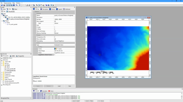
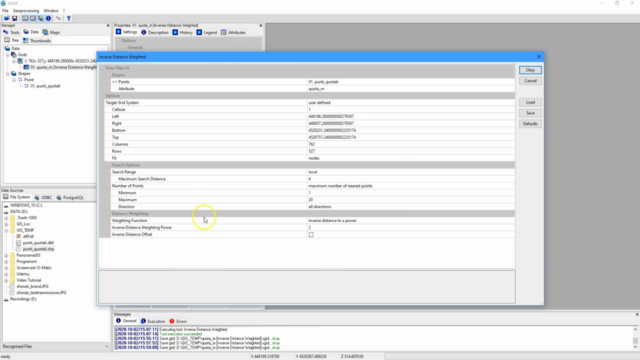
- Generazione di Raster: Impara a creare un raster partendo da un dato vettoriale e quando utilizzare Kriging o IDW per l'interpolazione dei dati.
- Operazioni Avanzate: Esplora le operazioni di filtraggio, classificazione e Map Algebra per manipolare i dati RASTER.
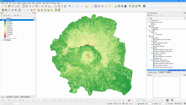
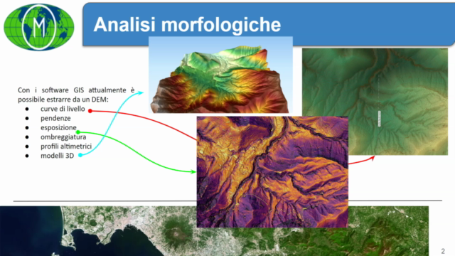
- Creazione di Dati Morfologici: Apprendi a generare dati morfologici da un raster esistente.
- Interazione tra Raster e Vettoriali: Comprende come i RASTER si interfacciano con i dati vettoriali per fornire analisi più complete e dettagliate.
- Pratica e Teoria Bilanciata: Accedi a una struttura didattica che combina lezioni teoriche con esercitazioni pratiche, completate da verifiche autovalutative per solidificare il tuo apprendimento.
🚀 Perché Scegliere QGIS? QGIS è uno dei migliori strumenti GIS open source disponibili oggi, ampiamente utilizzato sia in ambienti pubblici che privati. Con la sua versione 3.x, è un software maturo, sostenuto da una grande comunità globale e con un'ampia documentazione di supporto.
📚 Materiale Didattico: Tutti i partecipanti avranno accesso alle slide didattiche e ai materiali usati durante il corso, oltre a files pratici per le esercitazioni.
🎓 Prerichiamento: Si prevede che i partecipanti abbiano già compito con i corsi "GIS BASE" e "GIS INTERMEDIO" di Massimiliano Moraca, per garantire una base comune e preparati a approfondire le conoscenze GIS.
📅 Quando Iniziare? Iscriviti ora e inizia la tua avventura nel mondo avanzato dei RASTER con QGIS. 🚀🗺️
Nota Bene: Questo corso è pensato per chi ha già una solida comprensione delle basi e dell'intermedio del GIS, quindi si presume la familiarità con i concetti fondamentali e le operazioni intermedie. Se non lo sei, ti consiglio di seguire i corsi precedenti per ottenere il massimo beneficio da questo corso avanzato. 🎓✨
Course Gallery


Loading charts...